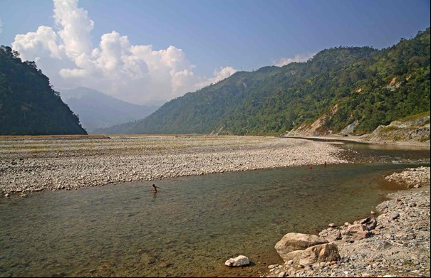
Amochhu near old intake gallery. Photo © Alasdair Macdonald
Keeping river banks safe in the face of floods
High monsoon flows from the Ammochu River are eroding the land along the river banks and exposing the town to the danger of flooding. Protecting the river banks reduces the risk of erosion and makes land reclamation a reality for the city’s expansion.
Since 2005, DHI has been involved in a project which provides an integrated approach to the city’s flood bank protection. Our work includes providing a feasibility study, a detailed project report and a report on how future construction of Ammochu Hydropower could potentially impact the reclamation project.
The city’s goal: To construct flood bank protection structures so that they could start land reclamation works.

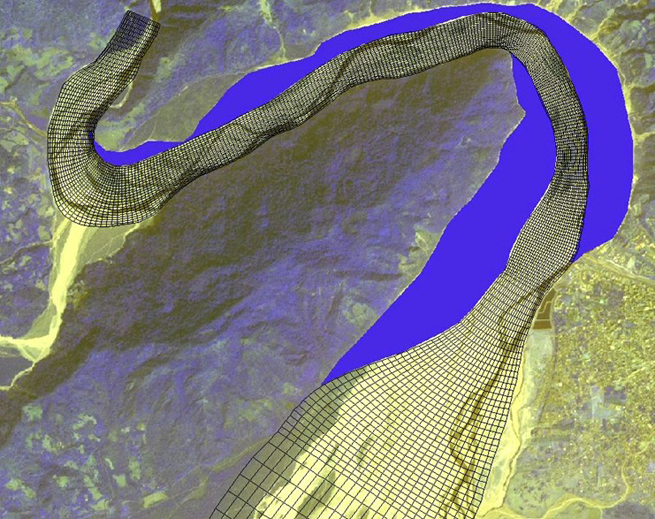
Proposed design layout and model grid
Design floods used for planning and bank protection investigations
Advanced computer-based modelling helps us understand the highly-dynamic Ammochu River in detail, as it can integrate the complex hydrologic and morphologic processes at work. This understanding is needed to derive parameters needed for the design works.
Our study revealed that constraining the channel width and excavating the channel bed allows the flood flows to pass safely downstream. Due to a faster recession of flood wave, the overall water levels could be lowered significantly. 2D simulation from our models also helped us determine the appropriate size of concrete blocks that should be constructed to protect the river banks.
‘This study helps solve Phuentsholing’s land problem as the city is growing faster and it is biggest commercial hub that shares a porous international border. Modelling done with MIKE Powered by DHI software allows us to understand the behaviour of river morphology and the hydraulic parameters which are the key to the design works.
’
– Apruban Mukherjee, Project Manager
Using our models and knowledge in flood bank protection, the city is now ready to go ahead with the construction works in 2017.